Projects to address improvements to understanding of social complexity by better integration and analysis of the spatial and temporal layers of physical, social, cadastral and demographic data relating to the social impacts of mining.
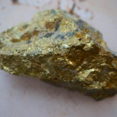
This project aims to use Minalyzer CS XRF data to perform high-resolution rocktype identification and domain boundary mapping in drillcore at George Fisher.
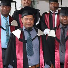
Between December 2014 and December 2017, The University of Queensland’s Centre for Social Responsibility in Mining (CSRM) provided professional training and capacity building services to Papua New Guinea’s Mineral Resources Authority (MRA).
How do engineered landscapes respond to fire? This project aims to test established rehabilitation by applying fire and measuring the vegetation and land form response in the 2 years following the burn.